


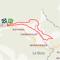

14,6 km | 24 km-effort

Benutzer


Kostenlosegpshiking-Anwendung
 SityTrail
IGN / Geografische Institute
SityTrail World
Die Welt öffnet sich für Sie
Tour Wandern von 6,7 km verfügbar auf Okzitanien, Ariège, Le Bosc. Diese Tour wird von tracegps vorgeschlagen.
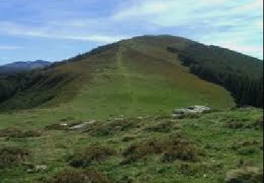
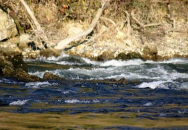
Une balade en boucle depuis le Col des Marrous pour monter au Planel en passant par les Gours et en descendant par La Magnangue, la Font Rouge, la Fontaine d'Estats et le col de Blazy.

Wandern

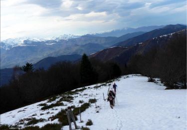
Wintersport
Wandern
Wandern
Pferd

Pferd
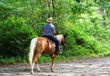
Pferd
Wandern

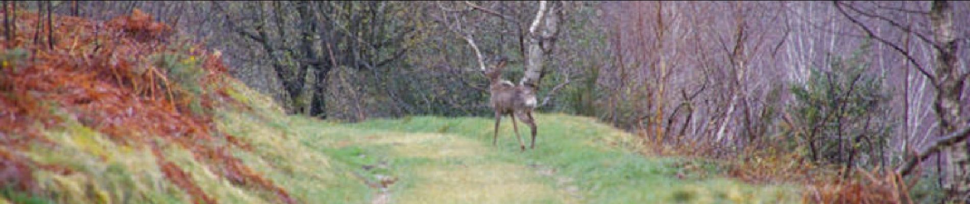
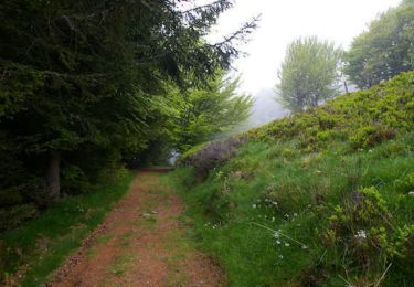
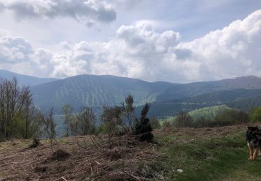
Très jolie balade, très accessible pour tous, vues dégagées s'alternent avec belles forêts ombragées. À recommander vivement